
FloodRoute matches tide levels to the low points in your streets
A solo-built Marin app adds neighborhood observations to coastal forecasts, with personal commute alerts reserved for its paid tier.
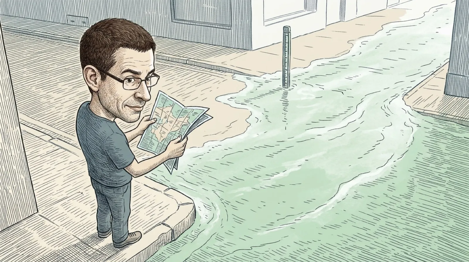
A high-tide time is useful until the question becomes whether the road home will be underwater. FloodRoute takes that extra step toward the curb. Cars remain stubbornly bad boats.
The maker’s site describes a combination of NOAA tide predictions, live water-level information and the measured low points along streets. The resulting map estimates which roads flood and when. It advertises coverage for 36 coastal towns, rather than every road anywhere a map can scroll.
Neighbors can add photographs and reports of current conditions. That gives the forecast something a tide table alone can’t supply: a person looking at the street. A photo still has a place and a time attached. Yesterday’s impressive puddle shouldn’t get promoted into today’s traffic report because it makes a more exciting thumbnail.
The product keeps a free tier with town maps and alerts. Personal street and commute alerts sit in Pro, alongside additional planning tools. That split matters if the exact reason you’re interested is one particular route. A free map and an automated warning about your own commute can be two different purchasing decisions.
FloodRoute itself says, “Forecasts are estimates, not guarantees.” The interface is therefore a planning aid for avoiding water, and an official closure or warning still determines what a traveler should do. A colored road on a phone can’t inspect the current, the pavement or whatever the flood carried onto it. The tempting shortcut can stay on the other side of the screen.
The useful software idea is how it joins two kinds of information. A water-height reading can help you choose a route when it is attached to the low point of an actual street. For someone building a map, a gauge alone answers a physical question. A street-level forecast answers the question a neighbor is likely to ask while reaching for the keys.
That also suggests a way to judge the app without treating its marketing as a road test. Does it cover the town and road you need? Can you find when the information was updated? Are nearby observations recent enough to add anything? The maker publishes forecast-checking information, but a stated accuracy figure on its own remains the maker’s measurement, not a guarantee for the next tide.
A neighborhood report can help confirm a problem without making it safe to investigate. The site explicitly tells contributors to stay out of floodwater. There is no photograph worth turning your phone into a very expensive depth gauge (water resistance, meet reality).
If this approach expands, the valuable addition would be dependable local coverage and clear uncertainty. More dots on a map would mean little if a person couldn’t tell which route a dot described or how old the observation was. FloodRoute’s current coverage boundary still determines who can use its answer today.
The detour can keep its dignity.