
A free browser tool shows which satellites crossed your address and finds their public photos
An orbit animation needs evidence labels before an overhead dot becomes a surveillance claim.
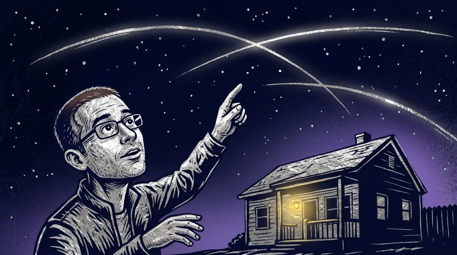
A satellite crossing your address makes an arresting animation. A satellite actually publishing a photograph of that address is a different event. Watched puts both into a browser interface and gives the distinction labels, so the little orbiting dot doesn’t get promoted to a private investigator without evidence.
The project’s README describes seven days of pass calculations for nearly 400 satellites, paired with searches of public Sentinel-2, Landsat and weather imagery. The orbit work runs in the browser. Its output can show a real public photo, a likely observation, a possible pointing opportunity or a pass without a known image.
The maker’s plainest limitation is also its most useful: a pixel in the best displayed images spans 10 meters. That is wider than a car. The page’s dramatic language therefore doesn’t establish that a person in their yard is visible, much less identifiable. Even a picnic blanket is safe from these orbital paparazzi.
Start with a landmark rather than a home address. The user gets the same opportunity to understand the timeline and photo matching, without immediately turning a location they care about into a shareable example. An interesting public-data tool doesn’t require volunteering the most personal place available just because the search box accepts it.
The privacy description is worth reading before using an exact place. Local orbit calculation doesn’t make the entire lookup local: archive and map services still supply data, and the README describes what the hosted site records and shares. Evaluate those paths separately instead of assuming “in your browser” means no other service learns anything about the query.
Timing introduces another subtlety. An archive’s timestamp can describe the beginning of an image strip rather than the moment a satellite crosses the selected point. That means matching a picture to a pass needs more care than sorting two lists by the same displayed time. An attractive globe is doing its job only if the labels explain how certain the association is.
Use the app to explore public observations, with the labels and image scale kept in view. Replaying a path is a lovely way to make abstract orbital data feel concrete, as long as the animation doesn’t get asked to prove more than the data says.
The most satisfying discoveries will be changes in familiar landscapes, not the fantasy of spotting yourself waving. A public image can be worth examining without proving that every camera overhead took it. Some of those dots are simply passing through.
The car is smaller than a pixel.