
A browser map repaints Valencia’s real buildings as a scrollable SimCity-style city
A real city becomes an explorable isometric scene, with neighboring tiles used to keep the painted streets continuous.
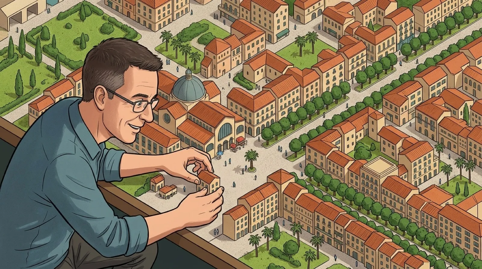
València looks ready for a tiny mayor when its real buildings are viewed through Tiny València. The map borrows the isometric pixel-art feeling of a city-building game, but its streets and buildings refer to an actual place. Please resist the urge to solve traffic by removing someone’s neighborhood.
The site’s explanation begins with real 3D city data rendered from a fixed isometric camera. An image model then repaints the output in a selected pixel-art style. Keeping the underlying viewpoint fixed gives the resulting scene a consistent geometric starting point rather than asking each tile to invent its own city.
The tile boundaries are the interesting technical detail. The site says each tile continues its already painted neighbors so the whole map remains continuous. That addresses a visible failure a reader can imagine immediately: a road reaching the edge of one square and discovering that the next square has other plans for it.
The sea, port basins and Albufera receive the same treatment. Those areas matter because a city map contains spaces between buildings as well as the buildings themselves. A consistent style has to carry across both, or the recognizable street grid can end up surrounded by what looks like an entirely different application.
Coverage also has an explicit exception. The maker says the municipal area is painted except for a few small huerta exclaves without available 3D imagery. That qualification belongs beside the appealing whole-city claim. Missing source material remains a boundary on what this process can depict, even when the visible parts have a charmingly complete appearance.
The controls support dragging, zooming and jumping to a random place. The address bar retains the current view, allowing a copied link to reopen the same location. That is a particularly useful feature for a map made to be explored: you can send the street you found, rather than send the home page and attempt to describe five turns through a miniature city.
The data credits distinguish building information, terrain and aerial imagery, roads and boundaries, and the 3D reference. A stylized output still depends on those source layers and their licenses. The site identifies Catastro, IGN and OpenStreetMap among the contributors, giving readers a route back from the illustration to the information underneath it.
The attraction is already clear in the documented method: preserve a real layout, use a shared viewpoint, then make the neighboring painted tiles agree. The resulting city can be playful without requiring its streets to become fictional. A familiar corner becomes somewhere to inspect again, one small roof at a time.
The zoning meeting can wait.